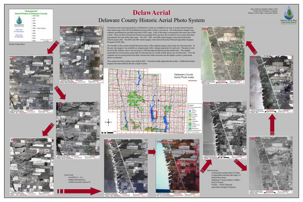
November 13th serves as National GIS Day. GIS stands for Geographic Information System (GIS). Here’s a jpeg image file you can download and view that shows the changes in the landscape of two areas of Delaware Count over decades. The aerials shown serve as base mapping for our GIS system that we use daily.
